Karte: 1890 Bartholomäus; Belgien und die Niederlande mit Luxemburg - Blatt 29
EUR 55,16 Sofort-Kaufen oder Preisvorschlag, EUR 8,77 Versand, 30-Tag Rücknahmen, eBay-Käuferschutz
Verkäufer: 8bailgatebooks ✉️ (4.172) 100%,
Artikelstandort: Doncaster, GB,
Versand nach: AMERICAS, EUROPE, ASIA, AU, NZ,
Artikelnummer: 166541132582
Karte: 1890 Bartholomäus; Belgien und die Niederlande mit Luxemburg - Blatt 29. John Bartholomew Map of Belgium and The Netherlands (Holland) with the Grand Duchy of Luxembourg - Sheet 29 disbound from the 1890 'The Library Reference Atlas of the World' First Edition Softcover Macmillan and Co., 1890 Very Good Condition Book Publishing Details
Comments & Item Features First Edition. Category: Maps, European History. Language: English. ISBN: No ISBN. Single disbound coloured map sheet, from John Bartholomew's Library Reference Atlas, covering the British Isles, the North Sea or German Ocean and parts of neighboring Europe. Suitable for framing. Approx size 35 x 46cm, vertical centre fold. Map is clean, crisp, clear and bright. Fold is split at right side of sheet and has been repaired on the rear with archive tape. Map includes England, Ireland, Scotland, Wales, Channel Islands, Denmark, Belgium and Holland, and parts of France, Germany, Sweden and Norway. Principle railway routes are shown across all of the mapped area, shipping routes are also marked. Book Condition Report Book Condition: Very Good Condition. Dust Jacket: No Dust Jacket. No dust jacket, as published. Size of Item & Shipped Weight Shipped Weight: under 1 kg. Multiple Purchases If you are considering ordering multiple items from us, please contact us so that we can offer you a discount on the total price including delivery. Images If you would like to see an additional/ different image of this item, please contact us. More books and maps and sheet music..... We have many more items in our ebay shop, please view by clicking on the ebay shop icon above. Keywords and Associated Terms BZDB4 Maps; Germany, Austria, Switzerland and German Language; European History. John Bartholomew Map of Belgium and The Netherlands (Holland) with the Grand Duchy of Luxembourg - Sheet 29 disbound from the 1890 'The Library Reference Atlas of the World'
| Author: | John Bartholomew |
| Full title: | Map of Belgium and The Netherlands (Holland) with the Grand Duchy of Luxembourg - Sheet 29 disbound from the 1890 'The Library Reference Atlas of the World' |
| Publisher: | Macmillan and Co., 1890 |
| Edition: | First Edition |
| Binding: | Softcover |
| ISBN: | No ISBN |
| Book ID: | 45021014004 |
- Condition: Book Condition: Very Good Condition; Dustjacket: No Dust Jacket
- Signed: No
- Original/Reproduction: Original
- Grade: Very Good Condition
- Language: English
- Format: Paperback
- Subject: Maps
- Binding: Softcover
- Sub-Subject: European History
- Special Attributes: First Edition
- Publication Year: 1890
- Publisher: Macmillan and Co.
- Brand: Macmillan and Co.
- Type: Book
- Author: John Bartholomew
- Book Title: Map of Belgium and The Netherlands (Holland) with the Grand Duch
- Item Weight: under 1 kg
- Colour: Multicoloured
PicClick Insights - Karte: 1890 Bartholomäus; Belgien und die Niederlande mit Luxemburg - Blatt 29 PicClick Exklusiv
- Popularität - 0 Beobachter, 0.0 neue Beobachter pro Tag, 100 days for sale on eBay. 0 verkauft, 1 verfügbar.
- Bestpreis -
- Verkäufer - 4.172+ artikel verkauft. 0% negativ bewertungen. Großer Verkäufer mit sehr gutem positivem Rückgespräch und über 50 Bewertungen.
Die Leute Mochten Auch PicClick Exklusiv

BENELUX.Belgium & The Netherlands with Duchy of Luxembourg.BARTHOLOMEW 1890 map
EUR 19,52 Sofort-Kaufen 3d 0h
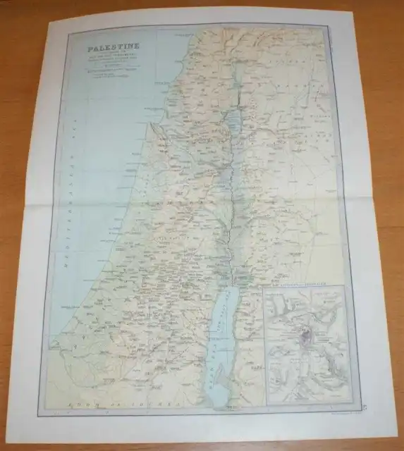
Map: 1890 Bartholomew; Palestine - Sheet 43 Library Reference Atlas of the World
EUR 58,91 Sofort-Kaufen 21d 22h
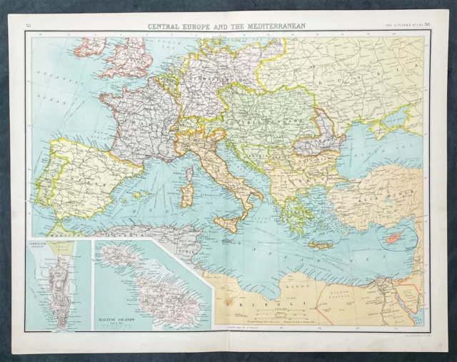
Map: 1890 Bartholomew; Central Europe and Mediterranean, Library Reference Atlas
EUR 55,16 Sofort-Kaufen 21d 22h
Antique Map: Holland & Belgium by John Bartholomew, Pocket Atlas, 1890
EUR 4,69 0 Gebote 2d 3h
1890 John Bartholomew Large Antique Map of Central Europe and the Mediterranean
EUR 36,54 Sofort-Kaufen 29d 8h
